Km 105: Junction with bush road R1023, running east from
the Road.
Km 106:
Information panel: "Mineral Exploration Demystified"
Km 110: In the fall
Km 123
Km
130: Spaced out at intervals along the Road are
emergency telephones (cell phones don't work up here).
These emergency phones are indicated by these signs.
Information panel: "Glacial deposits."
Km
135: Emergency telephone ("Louise").
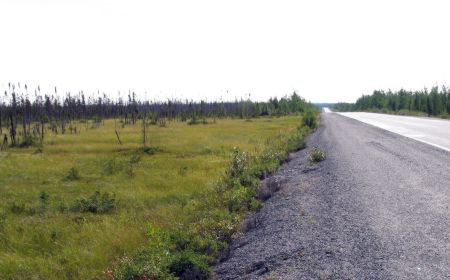
Forest fire in 1997 here caused by lightning extends
through km151.
These emergency phones are
always located right by microwave towers. The diesel
generator (beside the building) provides power for the
tower and the phone.
Km 136: Site of
forest fire in 1997
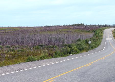
Km 142: The Road
passes a large bog on the east side.
Km 142: Typical bog
scenery. There's a lot of bogs in this part of the
world.
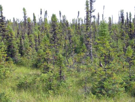
Km 142: Taiga:
black spruce and boggy ground.
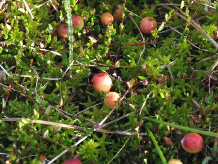
Km 142: Cranberries
grow in bogs, and there's lots of them here.