James Bay Road website
The James Bay region of northern Quebec

Brisay

 
Brisay is located at km 582 of the Trans-Taiga Road, and is the effective end of the road for ordinary vehicles. The remaining distance to Caniapiscau (km 666) is very rough and requires 4-wheel drive.

At this point you are 658 km from the nearest town (Radisson), the farthest you can be from a town on any road in Canada!

There are Hydro Quebec residences here, not open to the public. No services, accommodations or fuel.

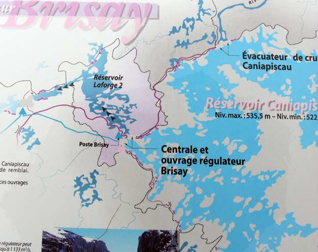
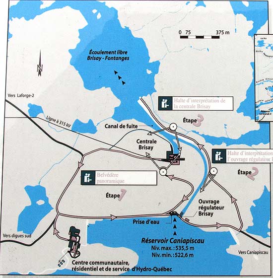
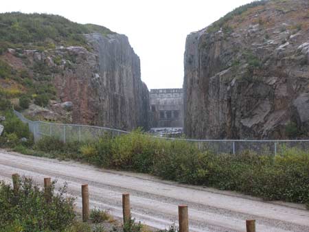
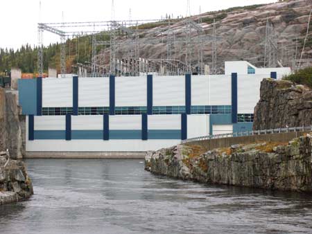
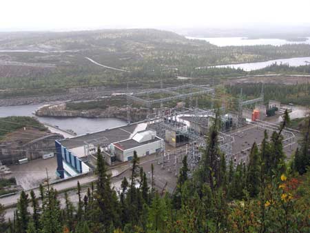
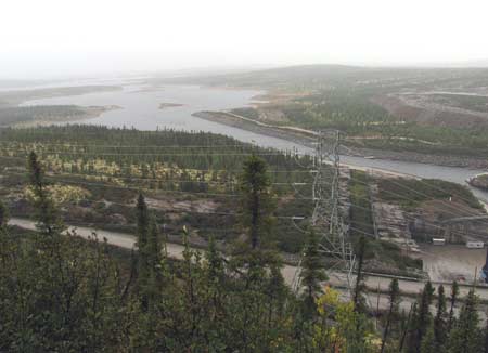
There's an extensive set of Hydro Quebec interpretive signs here, along a small self-guided road tour of the hydro installation, including a high viewpoint. Well worth a visit, especially after driving all this way. No tours are available.

 
From Here to: Km Miles
Amos 1308 811
Chibougamau 1272 789
Chisasibi 728 451
Eastmain 878 544
Matagami 1126 698
Nemaska 967 600
Radisson 658 408
Wemindji 704 436
Waskaganish 991 614
 

This map is of the area surrounding Brisay, which is in the center of the map. 


This next map shows the Brisay local area. The Trans-Taiga Road comes in from the west on the left side of the map, at the middle (where it says "Vers Laforge-2").

To continue to Caniapiscau (km 666), when coming in to the Brisay area, turn right at the "T" junction, following the sign to the "Belvedere", then turn left at the signs for "Belvedere" & "Caniapiscau" (the sign for Caniapiscau indicates that it is 92km away, but all other sources say that the Trans-Taiga Road ends at km 666). Continue straight, over the control structure past the "Belvederes". There are no further signs indicating that this is the road to Caniapiscau. 


The viewpoints are marked with "Belvedere" signs, and are represented on the map below by small circles with a dot in the middle. If you've driven all this way to Brisay, it's well worth the time to go around to these viewpoints and have a look, especially #1, which gives a fabulous view of the surrounding region.

 
This photo is at viewpoint #2 (refer to the above map) of the hydro-electric generating station.

At each of the viewpoints there are several information panels describing in detail various aspects of the region and Brisay (all in French).

The overflow structure (viewpoint #2).
The actual generating station (viewpoint #3).
A high viewpoint (#1) overlooking the hydro generating station.


Looking "downstream" along the La Grande River, from viewpoint #1.

This viewpoint is well worth a visit!

This is looking along the road continuing on to Caniapuscau.


For most vehicles this is the end of the road. 
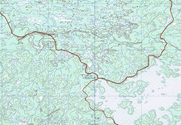
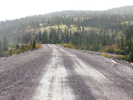
The road from here to Caniapiscau is very rough and a 4-wheel-drive vehicle is required. The main reason for this is the very coarse gravel used for this road - there's large rocks littering the road surface.
 

Travel Info    Roads    Towns    Virtual Tours    Travelogues

Matagami    Waskaganish    Nemaska    Eastmain    Wemindji    Chisasibi    Radisson

 James Bay Road

The material on this page is copyright © by the original author/artist/photographer
This website is created, maintained & copyright © by Walter Muma
Please respect this copyright and ask permission before using or saving any of the content
of this page for any purpose

-- These other websites may also interest you --

Ontario Wildflowers   Ontario Trees & Shrubs   Ontario Ferns   Ontario Grasses   Ontario Insects
Mumart   World of Mosses   Wild Ontario   Trans-Labrador Hwy   James Bay Road   Rupert River   Moped Trip
Wildwood Survival   Wildwood Tracking   Leatherwood Trail   Tracker Trail   Earth Caretaker   Wildwood Canada

Thank you for visiting!