|
Virtual Tour of the James Bay Road
Page 7 of 12
Previous
Next
|
|
|
|
Km 272:
Fishing site |
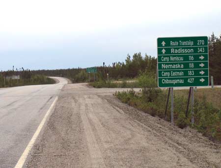 |
Km
275: Junction with the
North Road,
which runs east and south to Chibougamau, 440 km away;
Nemaska is 117 km away; the
North Road is 424 km long.
Rest area: picnic tables, toilets, shelters.
Information panel: "Fire-devastated forests". Lightning
caused a forest fire here in 1983.
Fishing site nearby.
Click here for more
information about the North Road, including a
detailed guide
and photos. |
|
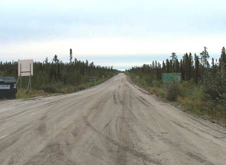 |
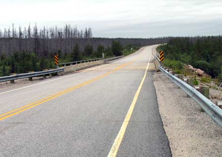
Km 275: Looking
east along the North Road. |
|
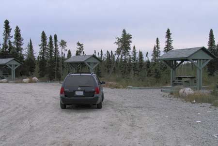 |
Km 275:
Rest area at the North Road junction: picnic tables,
toilets, shelters.
Information panel: "Fire-devastated forests". Lightning
caused a forest fire here in 1983. |
|
 |
Km 286 |
|
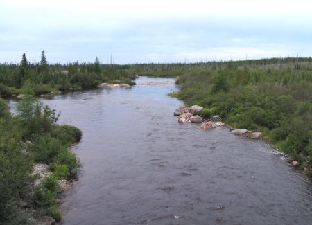 |
Km
294: Pontax III River. The "Pontax" name is a
corruption of the Indian name "Pontacks", a Cree trapper
who used to live in this area. A forest fire was caused
by lightning here in 1986. Fishing site. |
|
| Km 301: Emergency telephone ("Pontax") Km 303-308:
Forest fires burned here in July 2002 |
 |
Km
307: Pontax I River |
|
 |
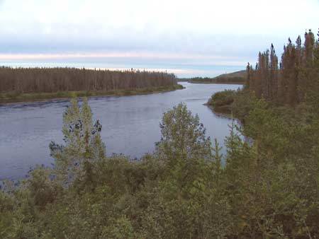
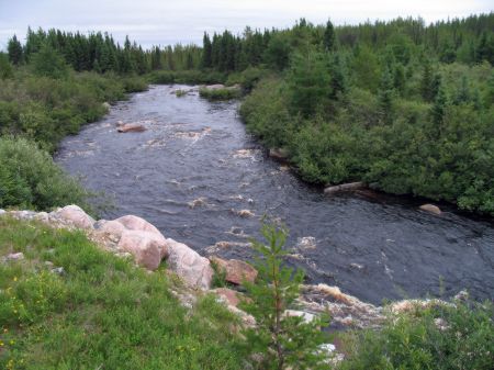
Km
312: Pontax II River. (Enistuwach River). These are
actually three separate rivers.
The three rivers are named according to their flow.
ie, Pontax I is the largest of the three, & Pontax III
is the smallest. Additionally, this is one of the few
river systems up here that has been excluded from
diversion and development for hydro-electric projects.
This photo was taken late on a calm evening -- nice
and peaceful. |
|
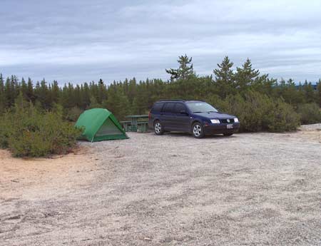 |
Km
324: Mirabelli Lake campground, 2.5 km east of the
Road (the sign is wrong - it says 4 km). Picnic tables,
toilet(1), no shelters, boat launching ramp, fishing.
Large informal campground. Nice view of the lake from
the hilltop. Forest fire here in 2005. This site was
originally a road construction camp. |
|
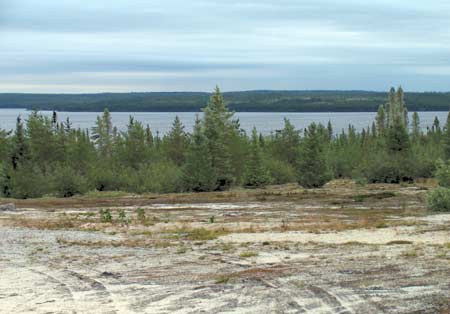 |
Km 324: Mirabelli
Lake campground: nice view of the lake from the hilltop. |
|
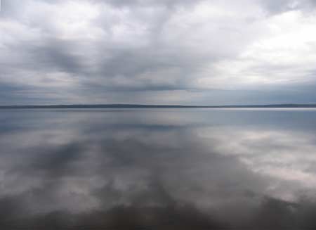 |
Km 324: Mirabelli
Lake on a calm day |
|
 |
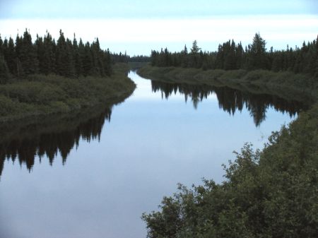
Km
326: Jolicoeur River. |
|
 |
Km 326: Jolicoeur
River. This river is colored brown from tannin. |
|
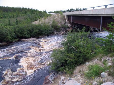 |
Km 326: Jolicoeur
River. A rapids is directly under the bridge. |
|
|
Previous
Next |
|
|

