|
Virtual Tour of the James Bay
Road
Page 12 of 12
Previous Next
|
|
|
 |
Km
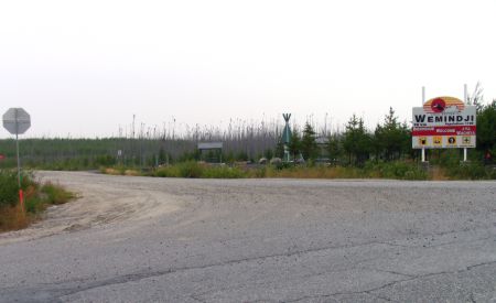
518: Junction with the Wemindji Road.
Wemindji is a
Cree village 96 km west on the shores of James Bay.
Rest area: toilet(1), picnic tables, shelters(2).
Information panel: "The hidden treasures of glacial
deposits". CLICK
HERE for more info. |
|
| Km 525:
Kaychikwapitcha Lake briefly visible to the east. |
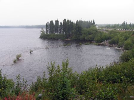 |
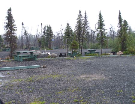
Km
542: Yasinski Lake. Picnic tables,
toilets(2), shelters, fishing, information panels,
scenic viewpoint. No camping.
This is one of the most important spawning grounds
for walleye in Canada. |
|
|
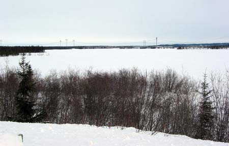
Photo by "Peter (uptick)" |
Km 542: Yasinski
Lake in the winter (Feb 2005) Photo by
"Peter (uptick)".
CLICK HERE
to visit Peter's website and view the complete trip. |
|
|
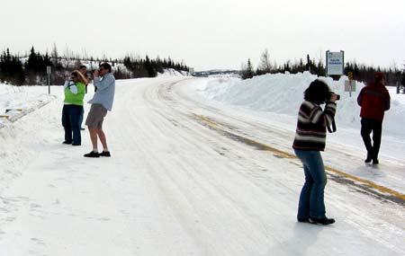
Photo by "Peter (uptick)" |
Km 542: Yasinski
Lake in the winter (Feb 2005)
Photo by "Peter (uptick)".
CLICK HERE
to visit Peter's website and view the complete trip. |
|
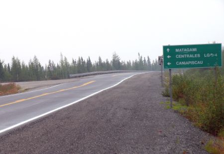 |
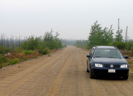
Km
544: Junction with the
Trans-Taiga Road.
This is a very remote unpaved road that leads
east for 666 km.
CLICK HERE for more
info. |
|
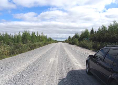 |
Km 544: Looking
east at Km 0 of the Trans-Taiga Road. For more
information about this road, including a detailed guide,
see the
Trans-Taiga Road section of this website. |
|
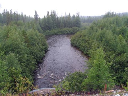
| Km 552:
East Castor River Km 556:
Hydro Quebec microwave tower ("Yasinski"). No emergency phone. |
 |
Km
561: Castor (Beaver) River. Rest stop: picnic
tables, toilet(1), fishing, no shelters. |
|
 |
Km 561: Castor
(Beaver) River rest stop: picnic tables, toilet(1),
fishing, no shelters. |
|
 |
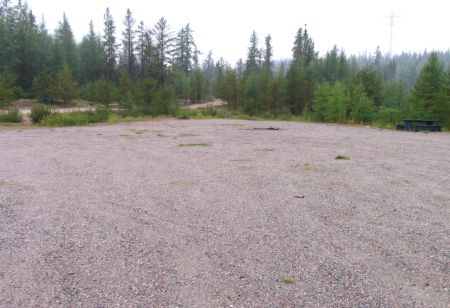
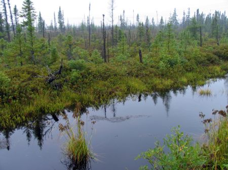
Km
574: Duncan Lake campground, 6 km west off the Road.
Campground, picnic tables, toilets(2), boat launching
ramp. Nice campground.
Forest fire here in 1996-98 or thereabouts. |
|
 |
Km 574: Road to
Duncan Lake campground. |
|
 |
Km 574: Along the
road to Duncan Lake campground. |
|
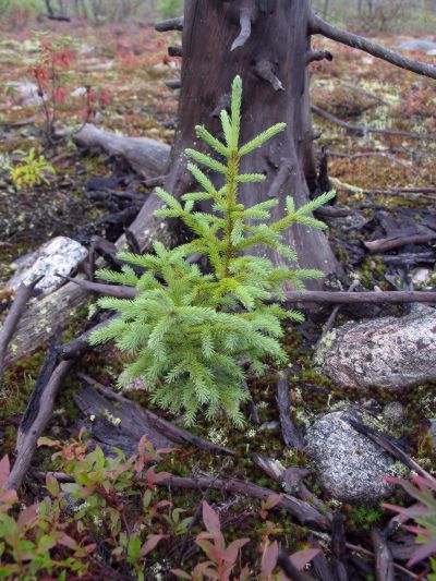 |
Km 574: Along the
road to Duncan Lake campground: A young black spruce
tree rises from the ashes of the forest fire. |
|
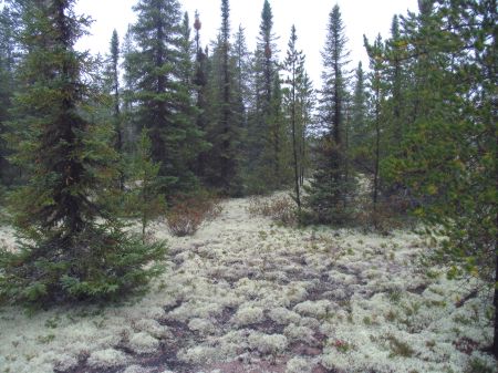 |
Km 578:
Information panels: "Lands of lichen" and "The jack
pine" |
|
Km 579:
Radisson garbage dump. Good place to observe bears, ravens, and
other scavengers.
Km 581: Junction with Hydro Quebec Road - "Duncan",
leading east towards dams and boat launching ramp on the Robert
Bourassa Reservoir.
Km 582:
Information panel: "A cree moss winter lodge" |
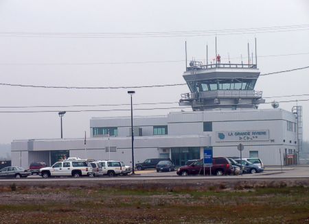 |
Km
589: La Grande Riviere Airport. |
|
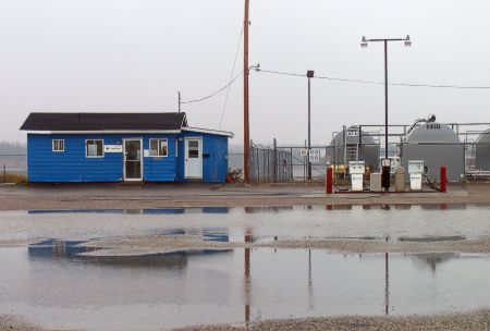 |
Km 589: La
Grande Riviere Airport. Fuel is available here at
certain times. In August 2002 gas was 86.0¢ per liter,
diesel 79.0¢ per liter. (819) 638-8847. |
|
 |
Km
600: Junction with
Chisasibi Road.
Chisasibi is a Cree village that lies about 90 km to the
west on the banks of the La Grande River, near James
Bay.
The LG1 dam and power station is along this road as
well, 62 km west of the James Bay Road. James Bay itself
is about 16 km west of Chisasibi. Tours of LG1 are
available. There is also access to Longue Pointe on
James Bay. CLICK
HERE for more info. |
|
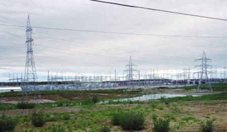 |
Km
602: Hydro Quebec main transformer station (part of
it). |
|
|
Km 614:
Access road to Robert Bourassa Reservoir lookout and boat launch. |
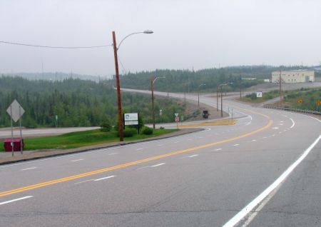 |
Km
617: Junction with the access road to
Radisson.
Radisson is
about 5 km north & west of the James Bay Road. Most
services are available here.
In Aug 2004 gas was $1.00 per liter here.
There is an excellent tourist information booth here,
just as you come into town.
CLICK HERE for more info. |
|
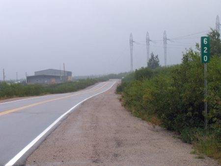 |
Km
620: End of the James Bay Road -- the end of the
Road is where the pavement ends. Robert Bourassa (LG2)
and LG2A hydroelectric power generating stations are
ahead. There's a network of unpaved roads here leading
to various parts of the hydro installation. See the
Radisson section of this site
for a map. Tours are available in both French and
English, and well worth the time. You must book these in
advance. 1-800-291-8486. The tours take approximately
2-3 hrs, are free, and leave from Radisson. This
concludes the Virtual Tour of the James Bay Road. |
|
|
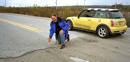
Photo by David Rose |
Km 620: Another
"end of the road" photo. This is David Rose - see his
website about his trips up the James Bay Road here:
|
|
|
This concludes the James Bay Road
Virtual Tour!
Previous Next |
|
|

