|
Mont Laurier - Photos
|
| |
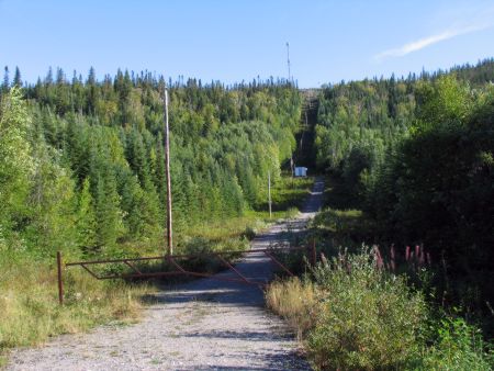 |
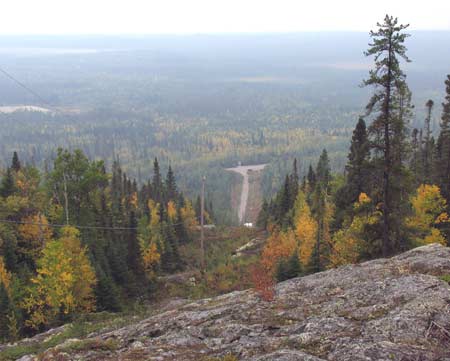
KM 10 ACCESS POINT
Mont Laurier trail at km 10 of the James Bay Road. Note
that it is a lot farther and higher than it looks from
the road. The trail starts at the "Telebec Laurier" sign
and is directly across the road from the Information
panel.
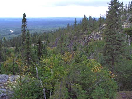
This photo shows the start of the trail. It climbs by
a roundabout route to the microwave tower at the top of
the mountain, seen here in the distance. Don't block the
gate when you park here.
You can ascend to the top one of two ways from here.
A trail leads off to the left just past the first pole.
Another trail leads off towards the right just below the
small building seen in this photo. You can also take a
"shortcut" trail part way up if your time is limited. |
|
|
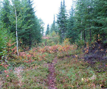 |
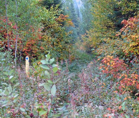
LEFT SIDE TRAIL
The beginning of the trail that leads to the top from km
10, going towards the left. I haven't hiked this route. |
|
|
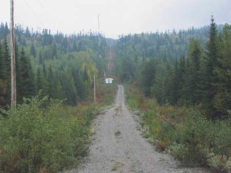 |
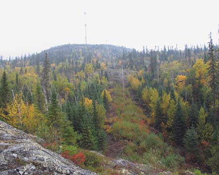
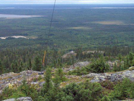
SHORTCUT TRAIL
You can take a shortcut part way up the hill by
following the powerline straight up the hill. This will
take you to a good viewpoint, even though it isn't all
the way to the top, and is a good alternative if you
have limited time. This route will take you to the top
of the hill in the very center of this photo. But this
is only partway to the very top.
This trail starts on the right side of the small
white building seen here. |
|
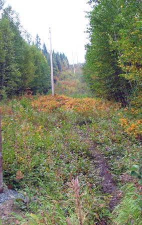 |
At the small white
building, just starting up the shortcut trail. |
|
 |
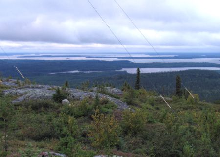
At the top of the shortcut
route. |
|
 |
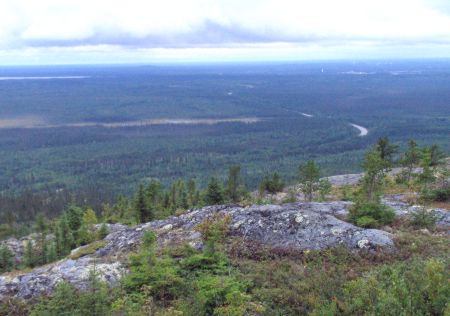
Looking the rest of the
way up the hill from the shortcut viewpoint. Note that
the trail drops into a depression before ascending the
rest of the way to the top. I'm not even sure that
there's a trail from here to the very top. Also note
that it's till quite a way to reach the top. |
|
|
 |
RIGHT SIDE TRAIL
The trail that leads to the top from km 10, going
towards the right. I have hiked all the way to the top
along this route. |
|
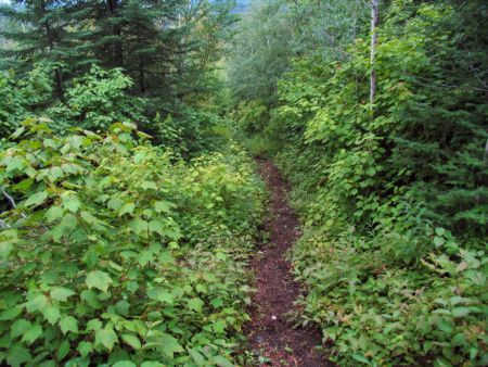 |
About 1/4 of the way up
the "right hand trail". The trail is fairly easy to
follow if you elect to take the "right" branch from the
start. |
|
 |
The first viewpoint. |
|
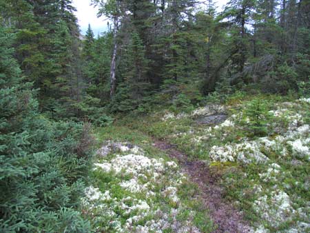 |
Farther up the trail
passes through a quite different landscape than lower
down. Lichens, moss, spruce trees and rocks dominate. |
|
 |
The view from the top,
looking north. |
|
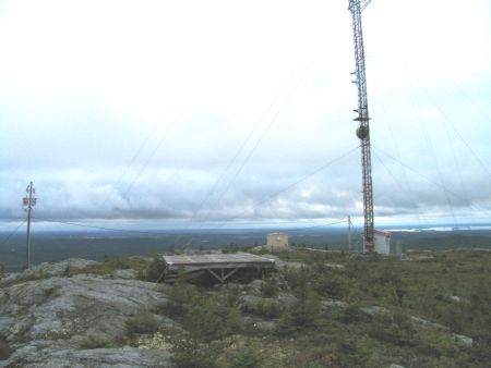 |
The microwave tower and
helicopter landing pad at the top. |
|
 |
Looking down from the top
to the pull-off along the Road where the trail starts
(it's the light spot in the center of the photo). |
|
 |
Looking south along the
James Bay Road.
Matagami is visible
in the distance (but not in this photo). |
|
|
 |
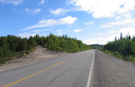
KM 12 ACCESS POINT
Here is where the second access point to the Mont
Laurier trail system is located, at km 12.
The trail leads up the abandoned road seen here. You can
drive a short way up if you wish and park there, or
simply park alongside the James Bay Road. |
|
|
 |
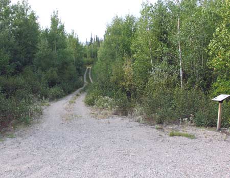
KM 18 ACCESS POINT
Here is where the third access point to the Mont Laurier
trail system is located, at km 18.
The trail leads up the abandoned road seen on the far
side of the James Bay Road here. There's no sign
along the road. Park along the road. |
|
 |
The abandoned road that
forms the start of the trail at km 18. Note the sign to
the right - this is the trail map. |
|
|
|
|
|

