|
Virtual Tour of the
Trans-Taiga Road
Page 8 of 10
Previous
Next
|
| |
 |
Km
521 Another unnamed river...
Notice how sparse the forest is along here - that's
because not only are you fairly far north along here,
but also higher in elevation than along the more western
parts of this road.
|
|
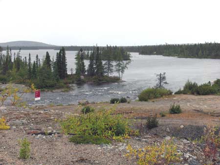 |
Km 521 Nice
lake and small rapids visible from the bridge. |
|
 |
Km
525 Access road to LA-2 dam and generating
station, 7 km to the north. Not open to the public. No
services or accommodations. |
|
 |
Km 528 LA-2 airport. |
|
 |
Km
542 Somewhere around here you will be the farthest
north you can reach in eastern Canada along a road,
except for the rough stretch of the Trans-Taiga Road
east of Brisay - there the road goes even farther north,
but requires 4-wheel-drive. |
|
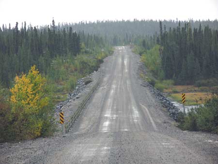 |
Km 574 |
|
 |
Km 579 Very close
to Brisay - almost at
the end (if you're not driving a 4-wheel-drive vehicle)! |
|
| |
|
Previous
Next |
|
|

