|
Virtual Tour of the James Bay
Road
Page 9 of 12
Previous
Next
|
|
|
 |
Km
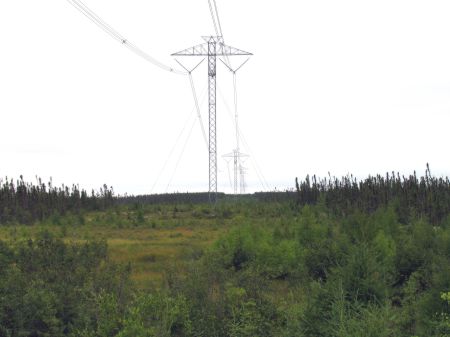
384:
First view of a major hydro transmission line from the
James Bay Hydro Project. |
|
|
|
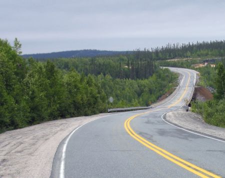
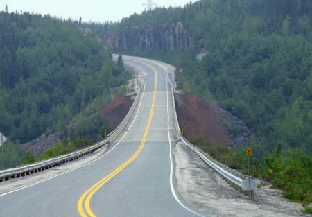
Km 391, Km 394, Km 395: Eastmain
River |
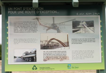 |
Km
391: Information panels: "Experimental reforestation
techniques for an outstanding road" & "An exceptional
bridge for an exceptional road." This is worth a stop
as there are photos of the construction of the Eastmain
River bridge (up ahead). |
|
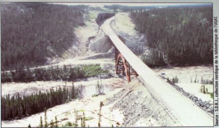 |
Km 391: Archival
photo from the Information panel of the Eastmain bridge
construction. |
|
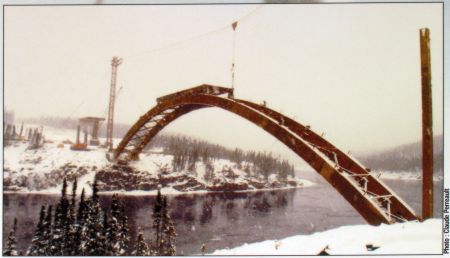 |
Km 391: Archival
photo from the Information panel of the Eastmain bridge
construction. |
|
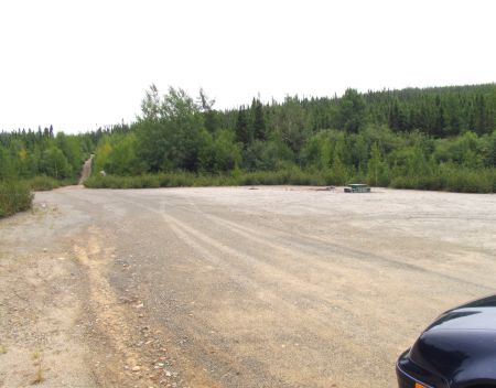 |
Km
394: Eastmain River campground, 2.5 km west of the
Road. Picnic table(1), toilet(1), no shelters, fishing.
This is a very basic campground, little more than a
parking lot.
|
|
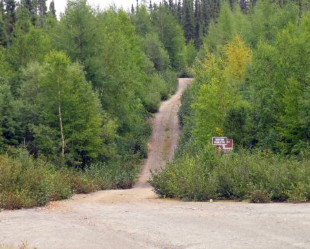 |
Km 394: Eastmain
River campground.
A trail along a small road leads to viewpoint under the
Eastmain River bridge (200 m). It starts at the far end
of the campground (visible here). |
|
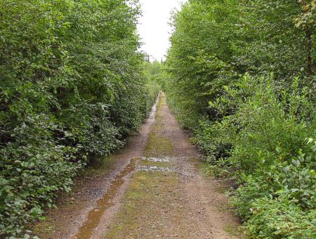 |
Km 394: Eastmain
River campground.
This is the trail to the viewpoint. You can drive along
it, but it is narrow, and there is very limited space to
turn around at the end. |
|
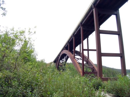 |
Km 394: Eastmain
River campground.
The view from under the Eastmain River bridge at the
end of the trail. |
|
Km 395: Eastmain River. Architecturally
this is the prettiest bridge along the Road, but you can't really
see it from the Road - there's a short access trail from the
Eastmain River Campground (see km 394 above). This bridge won a
prize for the architecture and engineering.
The partially empty channel of the Eastmain River can be viewed
looking east from the bridge. Park near either end of the bridge,
before the guardrail, and walk out to take a look. A large part of
the water of the Eastmain River was diverted northward to feed into
the La Grande River. This may be what the
Rupert River will look like in
a few years! There was a forest fire here in 2005. |
 |
Eastmain River
bridge, looking north. |
|
 |
Eastmain River
bridge, looking south. |
|
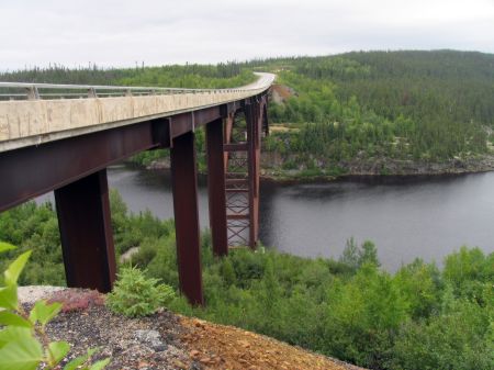 |
A view of the bridge from
just off the road. This is as good a view as you'll get
from the Road. |
|
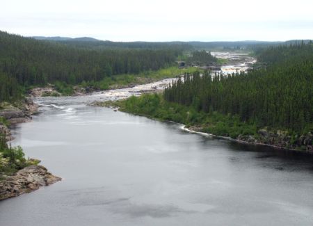 |
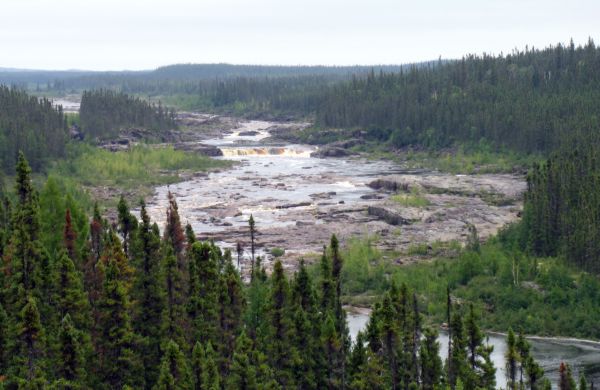
A view upstream. Near the
bridge the river looks fairly normal. |
|
|
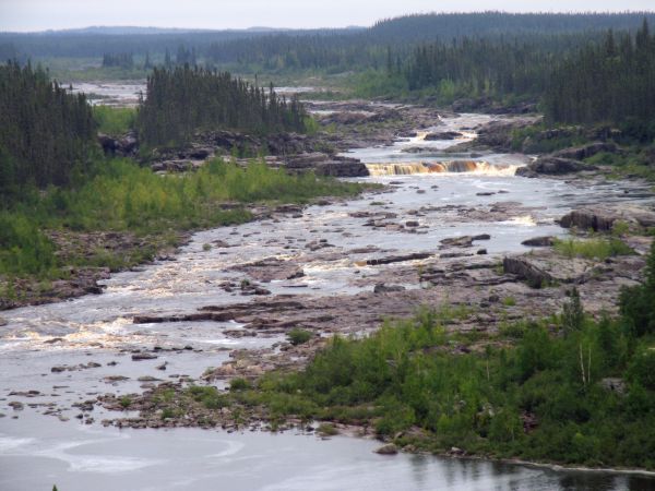
However, if you look farther upstream with binoculars or a telephoto
lens, you will see that this huge river is indeed greatly
diminished. It is but a shadow of its former self. |
|
 |
| |
|
 |
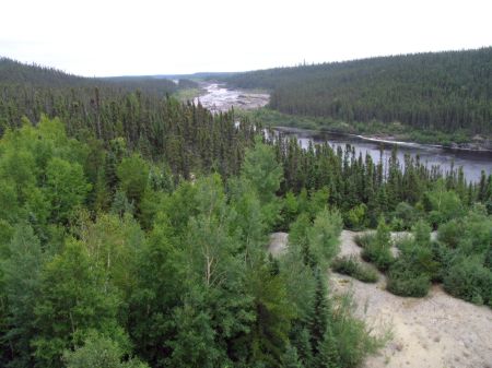 |
One final view upstream
from near the north end of the Eastmain River bridge. |
|
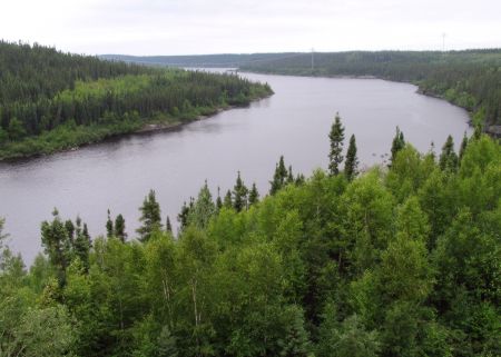 |
A view downstream from the
bridge. |
|
|
Previous
Next |
|
|

