|
Virtual Tour of the James Bay
Road
Page 10 of 12
Previous
Next
|
|
|
 |
Km
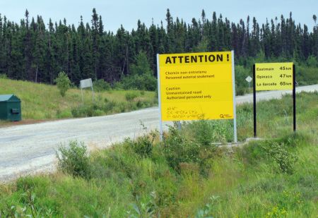
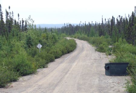
396: Hydro Quebec access road, leading east. The
sign says no unauthorized vehicles allowed.
But even though the sign says no access, there is no
patrol of any kind. It is possible to drive to the
Opinaca réservoir and La Sarcelle.Rough road.
Click here for a map. |
|
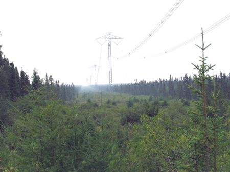 |
Km 404: Power
lines. Nothing particularly special about these. Just
showing what they look like. |
|
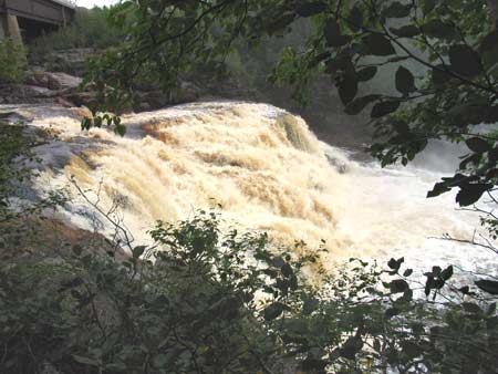
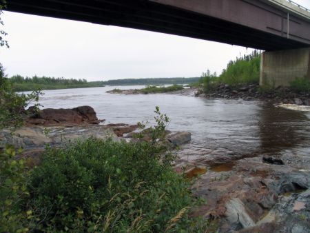
Km 411: Opinaca River |
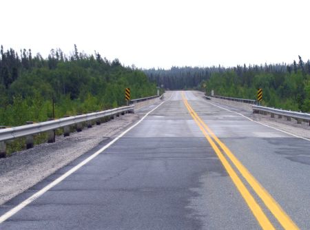 |
The bridge over the
Opinaca River. Lightning caused a forest fire here in
1989. |
|
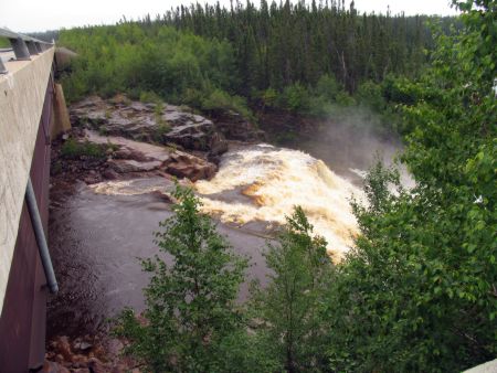 |
There's a nice waterfall
just west of, and almost under, the bridge. It is only
visible by standing on the bridge, or by scrambling
carefully down the slope through the alders right beside
the bridge -- be careful not to slip into the river. |
|
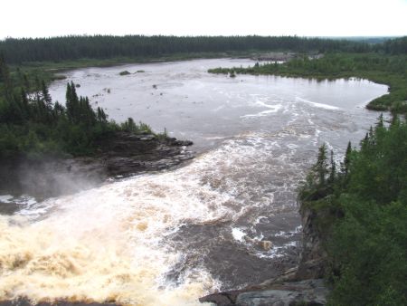 |
This river has had a large
part of its flow diverted north to the La Grande River. |
|
 |
Notice the brown colour of
the water. This is the result of tannic acid leached
from spruce and other trees. |
|
|
|
 |
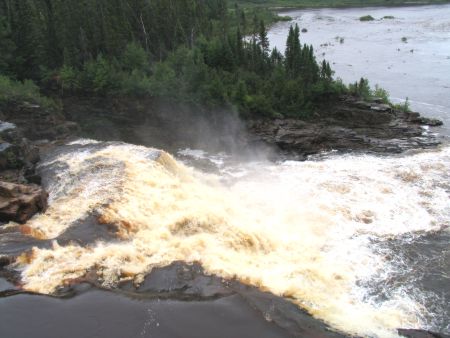
Looking up the Opinaca
River from under the bridge. |
|
|
| Km 422: Duxbury Lake is visible to the west in the
distance. |
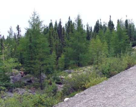 |
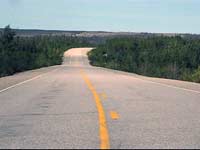
Km 431: Typical
roadside scenery and forest through this area. |
|
|
Km 436: I took this movie from the car while driving (shhh ...
don't tell the safe driving people!) to give an idea of what it's like
just driving along the road. Feel free to skip it if this sounds like a
waste of time to you -- it's mainly here for the benefit of remote road
addicts (like me)! At the end of the movie you will see one of the many
red squirrels of the area making a suicide dash across the road right in
front of my car. |
|
|
 |
Km 439: Another
forest fire area up ahead. |
|
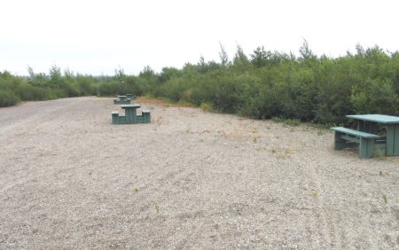 |
Km
440: Chaine du Lacs (Chain of Lakes) campground, 2
km east of the Road. Picnic tables, toilet(1), no
shelters, boat launching ramp. This is a very basic
campground, little more than a parking lot. |
|
 |
Km 440: Access road
to Chaine du Lacs (Chain of Lakes) campground. |
|
|
Km 444: Emergency telephone ("Aline") |
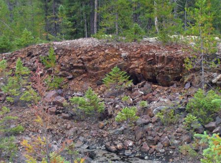 |
Km
446: Interesting iron ore rocks by the side of the
road. Rub the rocks - you will smell the iron on your
finger. |
|
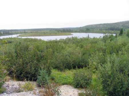 |
Km 455: A bog-lake. |
|
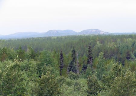 |
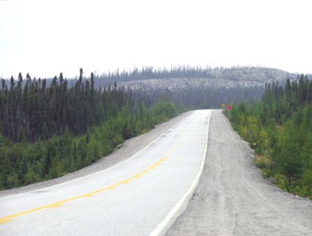
Km 463-475: Nice
scenery, views of rocky hills. |
|
|
Previous
Next |
|
|