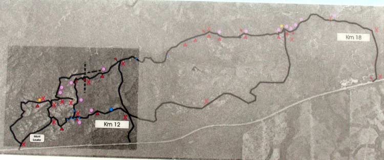
There are maps of the trail system at every access point embedded
in a sign. Photos of these maps are reproduced below so you can get an
idea of the trail system. |
The entire trail system
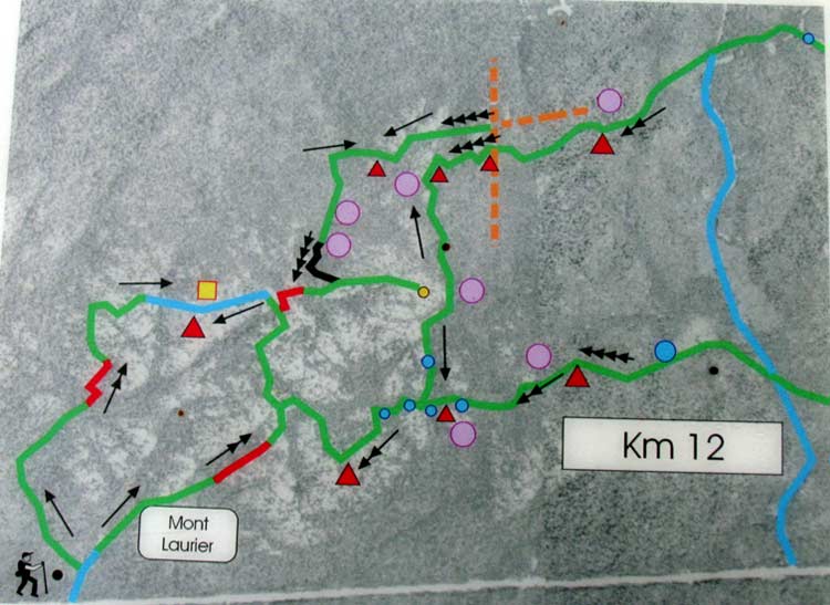
Detail of the western part
(this is the half where Mont Laurier is located)
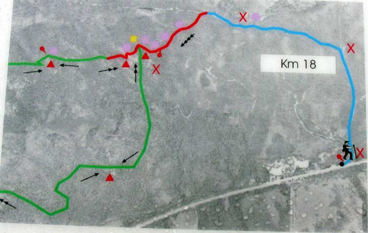
Detail of the eastern part
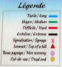
Legend of symbols used on the above two maps
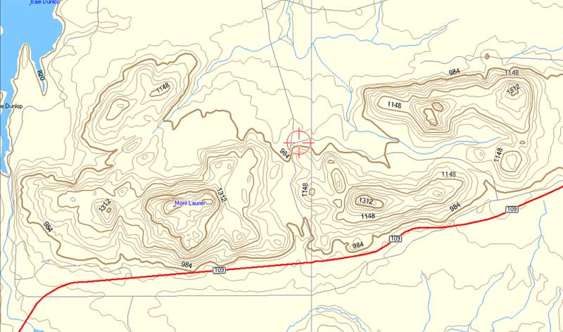
A topo map of the Mont Laurier area
(contour lines are in feet)
PHOTOS OF THE MONT LAURIER TRAILS |