|
September 2004 trip
Page 5 of 7
Previous
Next |
| |
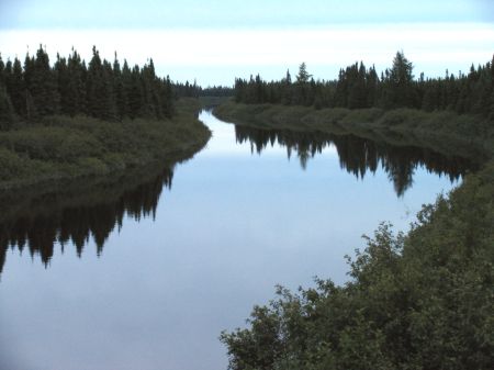 |
After the Rupert River I continued
north. This is the Pontax II River on a calm evening. |
|
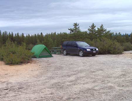 |
And I camped for the night in a
nice campground overlooking a lake. No one else around. |
|
 |
Breakfast: boiled eggs and toast.
Simple food always taste so good outdoors! |
|
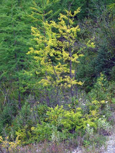 |
Continuing north, I noticed
Tamarack trees changing colour already. |
|
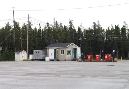 |
The only gas station for 381 km!
It's a great idea to stop and fill up, which I did. And if I
were to travel north from here, and then east on the Trans-Taiga
Road (more about that road later), there would be no fuel for
500 km! |
|
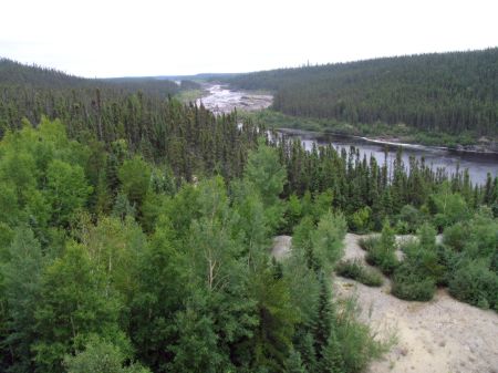 |
Soon after fueling up, I reached
the Eastmain River. |
|
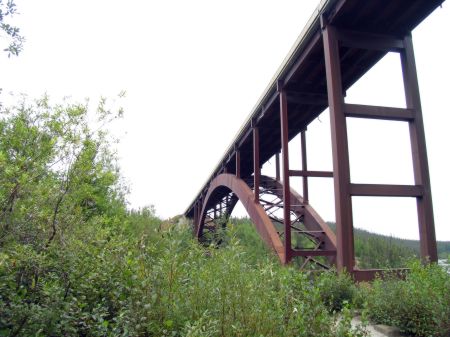 |
The Eastmain bridge is a unique
design, all steel. The James bay Road was built for the sole
purpose of transporting equipment and parts up to the James Bay
Hydro project in then 1970s. The road and all the bridges were
designed to withstand loads of up to 500 tons! |
|
|
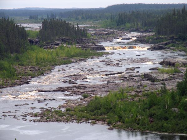
I stopped on the side of the road and walked out onto the bridge,
where I had a fine view of the Eastmain River. Unfortunately,
looking farther upstream with binoculars or a telephoto lens, one
can see that this huge river is but a shadow of its former self. A
large part of its flow has been diverted northward to the La Grande
River. This may be what the Rupert River looks like in a few years! |
|
 |
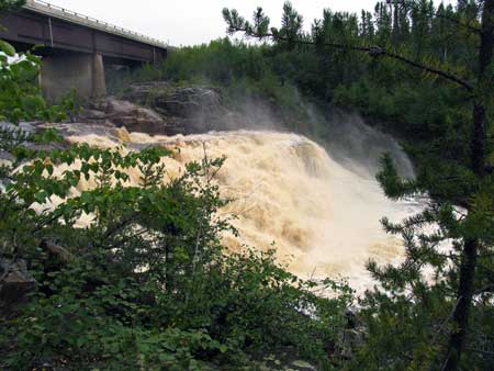 |
At km 411 I stopped to have a look
at the falls of the Opinaca River. This river has been diverted
northward as well. |
|
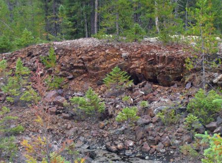 |
Further along I happened to stop
for a break and noticed these reddish rocks along the roadside.
Turned out they were comprised of iron and were rusting! |
|
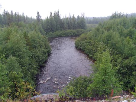 |
The Castor River, in the rain. |
|
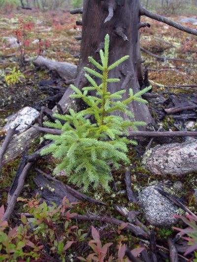 |
In another burned-over area, I
found this young Black Spruce tree. |
|
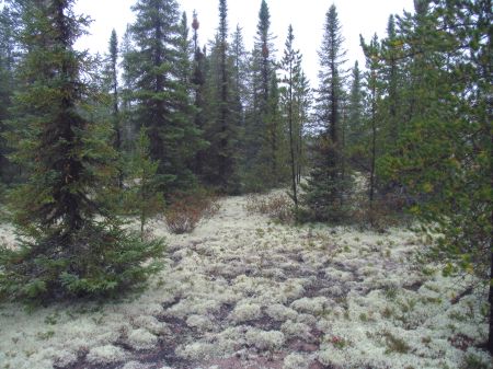 |
This is a photo of the typical
forest along the northern part of the James Bay Road. Thick
lichens cover the ground, and the trees are predominantly black
spruce, tamarack and jack pine. |
|
| |
|
Previous
Next
|
|
|

