|
September
2005 Travelogue
Page 3 of 8
Previous
Next |
| |
| The
Trans-Taiga Road runs 666 km east from km 544 of the
James Bay Road. It's gravel for the
entire length, there are no towns on it and very little traffic. This is
an extremely remote road, and you should only travel it in a reliable
vehicle in good condition with good tires. I carried two spares just in
case. For more information on this road,
click here. Being the remote road addict that I am, I have always
wanted to drive to the end of this road and back. Yeah, I suppose I'm
nuts, but that's what I like doing! |
| |
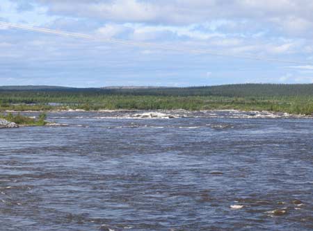 |
At km 59 is the "Sakami overflow
structure". This whole area has been developed for
hydro-electric generation. To do so, several rivers have been
diverted northward to the La Grande river where all the
generating stations are located. This is where these diverted
waters flow through on their way northward. There's a huge
rapids in the distance. |
|
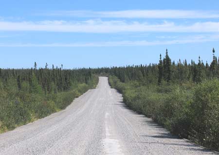 |
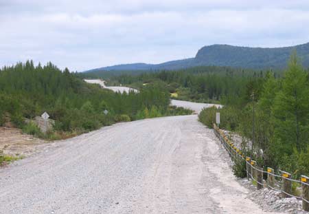
This is what the first 100 km of
the road look like (this is at km 80). |
|
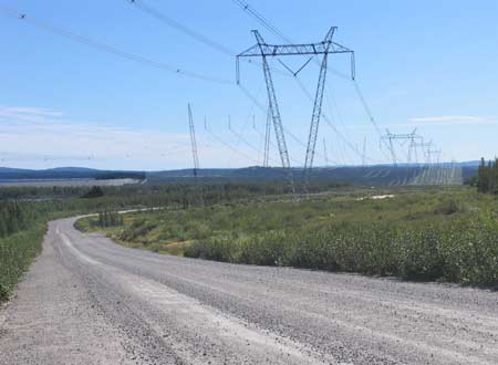 |
Occasionally you will cross the
giant transmission lines for the electricity on its way south
(km 110). |
|
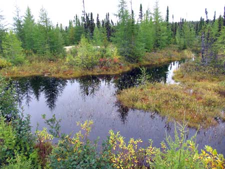 |
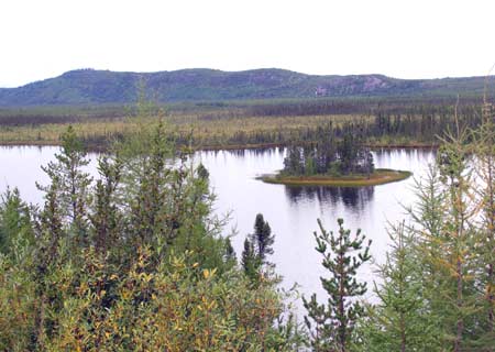
A nice little pond by the side
of the road.
I really like to stop from time to time and get out
and look around. Turn off the car engine and listen to
the silence! The silence is one of the main attractions
up here for me. Down south we simply do not realize
just how noisy it is, even when we "get away" to what we think
are "quiet" places. But there's always some background noise.
And until you come up to a place like this, where there is no
background noise except the wind in the leaves and the odd bird
sound, you don't realize how noisy even the "quiet" places
are down south! |
|
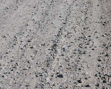 |
This shows the road surface. Yeah,
I'm sure you've seen a gravel road before, and have driven on
them! But on the Trans-Taiga Road it's the larger stones
scattered about on the surface of the road that can blow your
tires. Some are sharp, some are large. You need to keep a
lookout for them as you're driving along. These sometimes
necessitate driving at 60-70 km/h. |
|
 |
Around km 170 the road runs along
on top of an esker. An esker is the gravel bed of a river that
ran along inside a glacier during the ice age. Nice scenery
along here... |
|
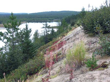 |
The steep side of the esker. |
|
 |
The road is narrower and more
winding along the esker. |
|
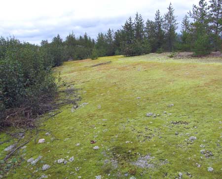 |
Still running along atop the
esker, there was a lot of this bright green moss covering the
open gravel areas. |
|
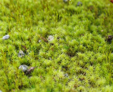 |
Closeup view of the moss. |
|
| |
|
|
|
|

