|
James Bay Road in January 2009
Photos and text by Vanessa Campbell
Page 2 of 2
Page 1
Page 2 |
| |
 |
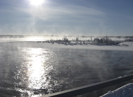
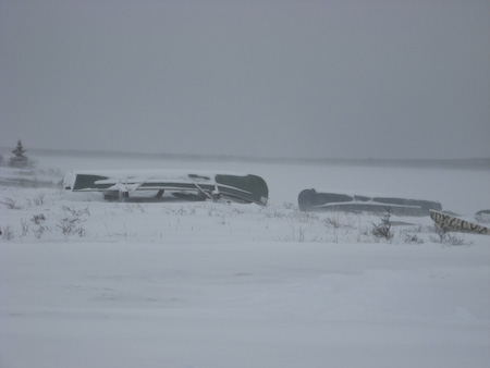
This picture
was taken from the Hydro Quebec access road
at km 396. We drove along it for a bit
hoping to get a side view of the Eastmain
but no such luck. |
|
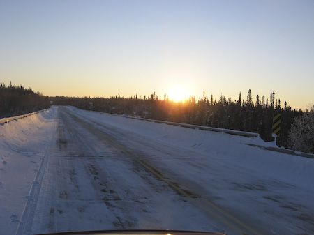 |
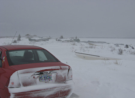
At the Opinaca
River rest stop at km 411. Finally we got a
picture with the sun in it! |
|
 |
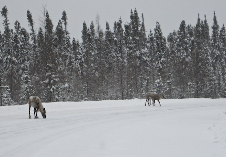
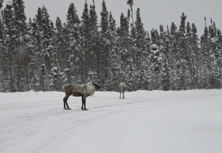
And finally we
get to see some caribou! The caribou are
much like deer; very skittish and they flee
the road before you can lift the camera up
to your face.
These pictures were taken from the car.
You can see how far over I am on the
shoulder. |
|
 |
Pictures from
the
Trans-Taiga Road. The last satellite
map we saw before leaving Brampton showed
the majority of caribou around Lake Sakami.
Since our caribou sightings were dismal, we
decided to take a little side trip along the
Trans-Taiga Road in the hopes of seeing more
caribou.
But it was not meant to be. We made it to
Lake Sakami and saw zero caribou. The drive
to km 60 was fine. The gravel was frozen,
and it seemed like they had graded it
relatively recently before the ground froze.
It was not smooth like pavement, but there
were no problems in maintaining 70km/h. It
was actually easier to drive on since it was
packed snow instead of ice over pavement....
This photo is from the bridge over the
overflow (km 59). |
|
 |
Here we are
heading back along the
Trans-Taiga
Road towards the main highway. You can
see how nice and smooth the surface is. We
were tossing around the idea of driving
towards the cut-off for LG-3, but decided
against it since we wanted to make Radisson
before the darkness fell. |
|
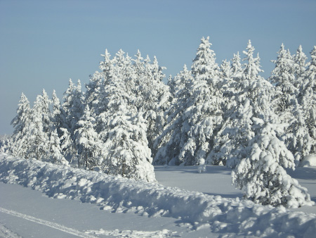 |
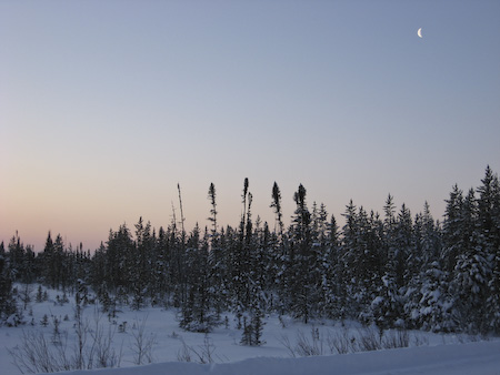
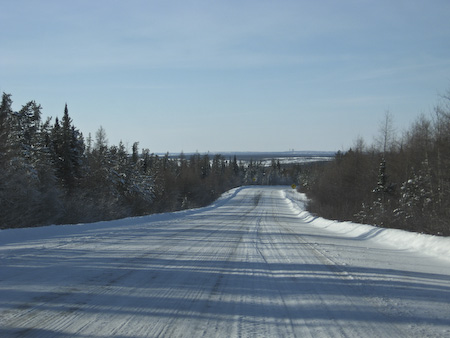
Heading into
Radisson. Some areas had tons of snow on
the trees, others, very little.
|
|
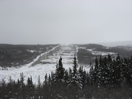 |
The next two
photos are not in black and white. When it's
overcast outside, everything turns to shades
of grey!
This is the overflow for the main dam. |
|
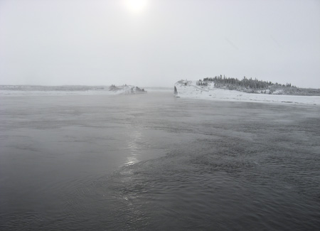 |
This picture
is from the man-made bay into the intake for
LG-2A. On to
Chisasibi...
|
|
 |
Since there
isn't too much to do in the town of
Chisasibi, we decided to drive right out
to the water. They do plow the roads leading
to the ferry dock for Fort George, and the
one that goes right to the ocean.
The gravel road leading to the airport is
in poor condition; it definitely had not
been graded prior to the ground freezing. As
much as I tried, I couldn't find a section
of the road without holes. The snow didn't
fill in the holes and smooth out the road... |
|
 |
Again, more
grey photos from it being overcast and light
flurries on and off. There really is an
ocean out there, but it's impossible to tell
unless if you've been there before! (We did
camp on that beach in 2004 and the bugs
drove us crazy.) |
|
 |
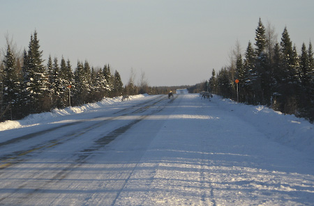
It's time to
head south... We spotted a few caribou
which ran into the trees as soon as we got
near them. While we were taking pictures of
those caribou, we spotted 3 more about half
a kilometer down the road. With the element
of surprise on our side, we slowly crept
forward and they stayed on the road. |
|
 |
If I can find
some editing software, I'll post a video
clip of them running with the car. They run
around 35-40km/h on the highway. If they get
running around this speed, it gets too fast
for them to run off the road and into the
ditch. You can see them looking for
somewhere to exit the road. After we got our
minute and a half of video, we backed off
the gas and watched them run off the road
and back into the bush. I don't remember
exactly where this was, but it was likely in
the km400s. We saw most of our caribou in
this area of the highway. |
|
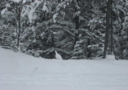 |
A ptarmigan. |
|
| |
| That's it! I hope you enjoyed our winter
travelogue! --Vanessa Campbell.
Page 1
Page 2 |
| |
|
|
| |

