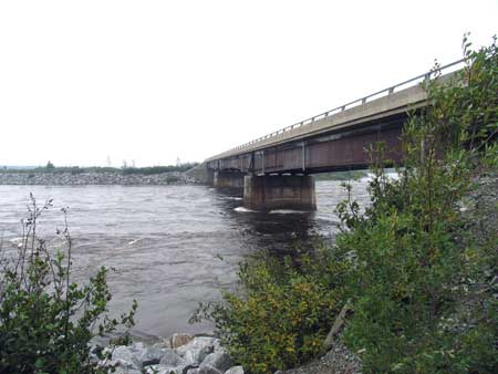
Km
59: Bridge: "Exutoire Sakami": Sakami water overflow
structure. Picnic tables, toilets.
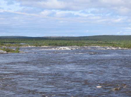
Km 59: This is the
channel through which all the water diverted north from
the Eastmain and Opinaca Rivers flows north into the
Robert Bourassa Reservoir.
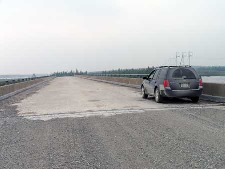
Km 59: On the
bridge
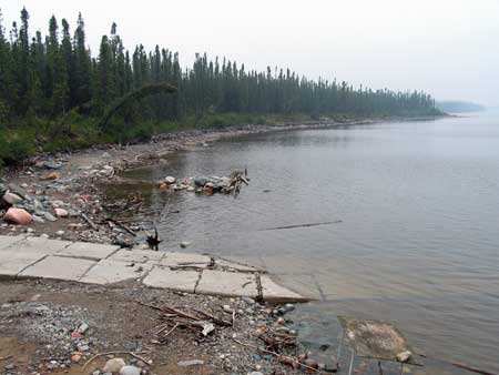
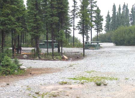
Km 62: Robert Bourassa Reservoir. Picnic tables,
toilets, boat launch, fishing, camping, viewpoint.
Km 62: The campsite
and picnic area. Nice campsite.
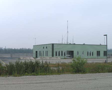
Km 84
Km 87: Hydro-Quebec microwave tower: "Aeroport LG3". No
emergency phone.
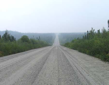
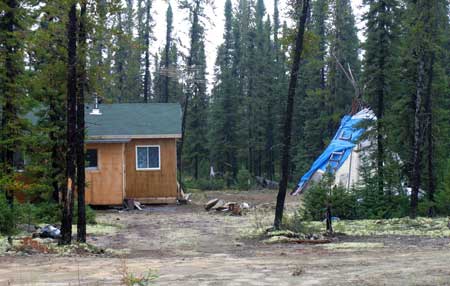
Km 91: Along this
road (as well as the
James Bay Road) the Cree
Indians of the area have established hunt camps. These
are the only buildings you will see as the road unwinds
beneath your tires.
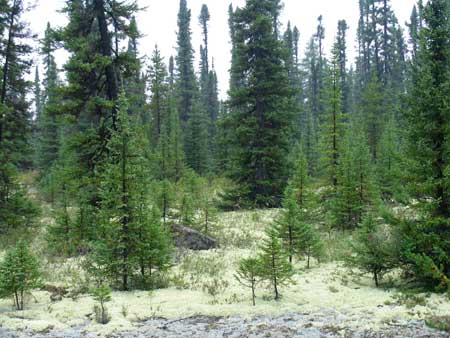
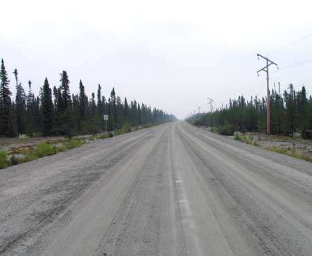
Km 92: A photo of
the typical forest along this portion of the road.
This is the "Taiga:" Black Spruce trees, Jack Pine,
and Tamarack, with a thick bed of lichens and moss
underfoot.
Km 96
Km
96: LG3 Airport. Emergency Phone (I came past here
in 2004 and didn't see any sign for an emergency phone)
Km
100: Access road north to LG-3 dam and generating
station (28 km) and Hydro Quebec's Sakami settlement (24
km). Not open to the public. Hydro Quebec interpretive
sign.