|
Virtual Tour of the
Trans-Taiga Road
Page 10 of 10
Previous
Next
|
| |
|
From Brisay it is 84 km to the dam and reservoir at
Caniapiscau. The road from
Brisay to Caniapiscau is
rougher and a 4-wheel drive vehicle is recommended by Hydro Quebec.
The main reason for this is the very coarse gravel used for this
road - there's large rocks littering the road surface. However, I
have heard from people who have driven this road in ordinary
passenger cars and they say it is fine. You do have to keep your
eyes open for the larger rocks though. |
| |
|
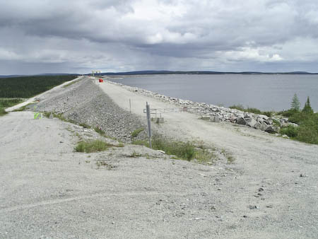
Photo by Lester Kovac |
Km 666: End of the Trans-Taiga Road, 745 km from the nearest town. This
is the farthest you can get from a town on a road anywhere in North
America! This is the main Caniapiscau reservoir dam, looking east.
Here the Caniapiscau River has been blocked and its flow diverted west
to the LaGrande River.
Caniapiscau
reservoir and Duplanter water overflow structure.
No services.
Explo-sylva Outfitter. (514) 254-6345, 1-800-267-9797.
Website:
www.explo-sylva.com. Open
mid-June through mid-October (thaw period). No fuel.
For lots more photos and information about the
Caniapiscau
area, CLICK HERE. |
|
|
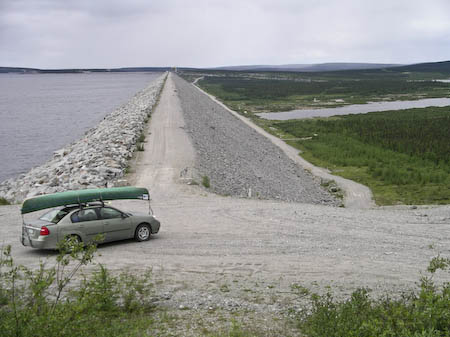
Photo by Lester Kovac |
The same dam, from the
east side looking west. |
|
|
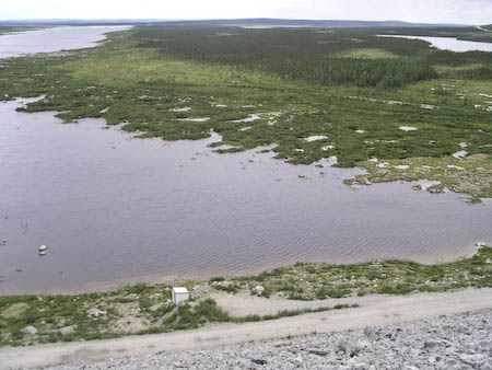
Photo by Lester Kovac |
Lac Duplanter, downstream of the dam. |
|
|
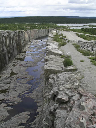
Photo by Lester Kovac |
Spillway in the dam. |
|
|
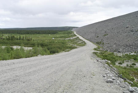
Photo by Lester Kovac |
The road goes east along
the base of the dam. |
|
| |
|
Panoramic view of the dry bed of the Caniapiscau River
below the dam. |
|

Photo by Lester Kovac |
| |
|
THIS ENDS THE VIRTUAL TOUR OF THE TRANS-TAIGA ROAD
For lots more photos and information about the
Caniapiscau
area, CLICK HERE. |
| |
|
Previous
Next |
|
|

